Government Fleet caught up with Jean Pilon-Bignell, Geotab’s vice president of business development, government & smart cities, at Geotab Connect, a training and networking event for Geotab’s customers, resellers, and Marketplace partners, in January. He discusses telematics in emergency response vehicles, how Smart City integrations improve traffic in urban areas, what the company’s federal security designations actually mean, the best telematics contract and procurement process he’s ever seen, and what Geotab CEO Neil Cawse means when he says telematics will be free in 10 years.
Q: Geotab Connect covers telematics use in various types of vehicles for government agencies, including police vehicles. Can you tell us more about telematics use for law enforcement?
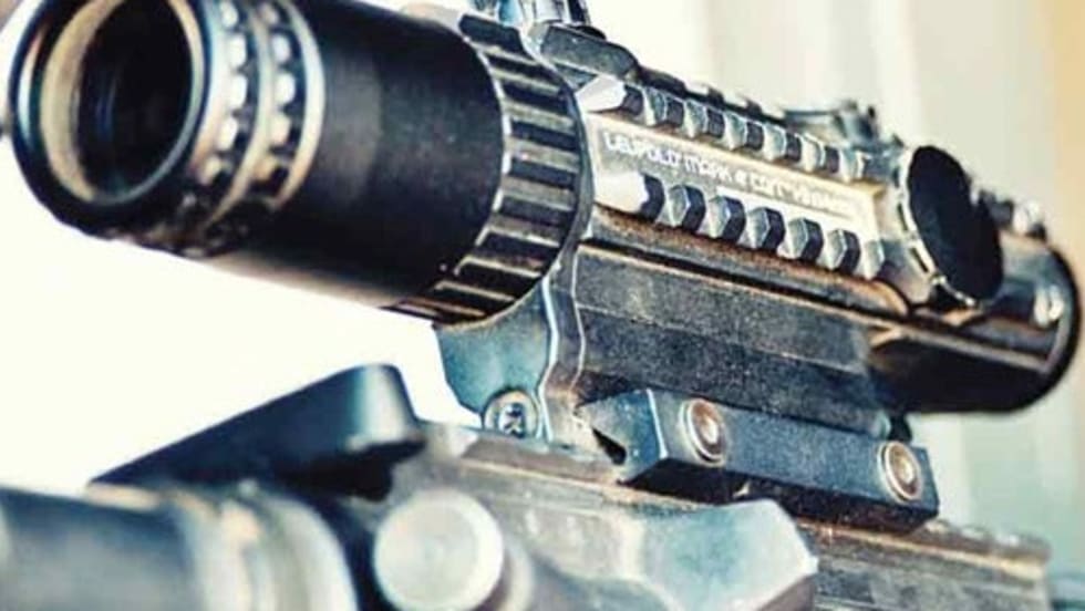
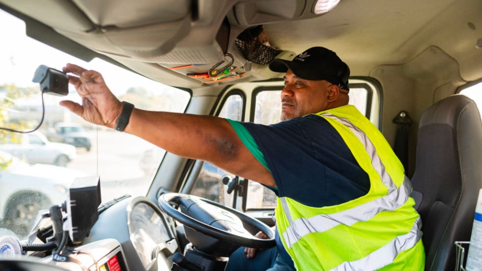
A: What we're focused on is giving dispatchers situational awareness to what's happening in the fleets, so it's not just, “Where's the location of my assets?” We’re focused on instrumenting other aspects of the vehicle too, like lightbars, sirens, and gun racks in the backs of the vehicles. We're giving dispatchers an ability to see not just a location of their assets, but which ones are in pursuit, which have their lightbars on and which don't, and which ones are engaged in an event where their gun has been unholstered. So going beyond just traditional telematics and trying to instrument different aspects of the vehicle.
It’s also for ambulance and fire. Ambulance, and even paratransit, would be similar, except there are probably more integration points. One example is the restraint systems in the backs of the vehicles. From a fire perspective, we can do the ladder position — depending on the vehicle — we can even do the pump systems to a certain extent, and flow rate sensors on hoses. Now supervisors and dispatchers are seeing everything in real time across their whole fleet, even which vehicles are pumping.
Our device has a little port on the side. It allows you to connect and daisy chain sensors, anything you want to connect to within the vehicle. That's how we connect to the light bar, that's how we connect to the siren. There's almost an unlimited option with this.
Q: Geotab has been working with the Regional Transportation Commission of Southern Nevada (RTC) on a smart cities project, with a focus on Las Vegas. Tell us more about this.
A: We're trying to leverage a lot of machine learning and analytics to help Las Vegas build more efficient traffic signal profiles. In Las Vegas, there are thousands of connected vehicles driving around at any given time. They're constantly trying to tweak traffic signals and synchronizations to move vehicles more efficiently and safely. Today, the way they do it is they develop models based on average road speeds, or more likely based on posted road speeds.
So let’s say it's going to take a vehicle, driving at 25 mph, 15 seconds to go from this intersection to the next, and therefore I'm going to delay this green light 15 seconds so that I can create these green waves. The reality is it doesn't take every vehicle 15 seconds. It takes some slow-moving vehicles, like a sanitation vehicle or a fire truck, maybe 30 or 40 seconds. And therefore, we're giving them some ability to integrate different representations of vehicle movements into that modeling.
These types of changes have an effect across the entire network. And we do that for morning rush hours, intraday commercial movement rush hours — we had different profiles.
Q: Let’s talk about security. Last year, Geotab obtained FIPS-140-2 and FedRAMP security status from the federal government. Can you explain these federal security designations and what they mean for government users?
A: There are many different aspects to a secure telematics solution. Think of every step along the way - the telematics device itself, collecting data in the vehicle, transmitting the data to the cloud, processing the data in the cloud, storing the data in the cloud, and finally displaying that information to our customers. Each step requires security best practices that are specialized for that part of the solution. For example, there are all several methodologies for protecting the firmware on the device to avoid situations where someone could potentially change the behavior of the device.
In addition, the federal government sets standards for things like data encryption. Let's just pretend for a second that I have all Coast Guard vehicles connected. That's a massive issue if there's a data leak. If someone were to intercept data from those devices, that's a huge issue, right? For this reason, the feds introduced FIPS-140-2, which basically sets/designates best practices in terms of encrypting and transmitting data. I believe we’re one of the only, maybe the only, telematics company that has this encryption level.
FedRAMP (the Federal Risk & Authorization Management Program) is more focused on the cloud. Once data has reached the cloud, what kind of protections are in place around your servers, staff accessing certain databases, and even disaster mitigation plans?
That's what a lot of this federal security stuff is — it's focused on making sure the device is resistant to attacks, encrypting all data, and then making sure once the data has been transmitted to the cloud, you have the proper protections around that cloud environment.
I'm happy to see that more and more governments are asking about security because in my opinion, it has been a massive omission in the past. I've seen many RFPs, and in most cases, there are zero cybersecurity requirements. That’s a serious problem — these are government fleets, in many cases very sensitive government fleets. They should have industry-best cyber security encryption and data handling practices, and we're seeing it more and more now.
Q: How do you expect government fleets to be using telematics in the next five years or so?
A: The most successful telematics programs are the centralized ones. A lot of governments operate in a decentralized system so it's hard to find synergies across various agencies and departments.
I think California will set some benchmarks with its program. California said, “I need to centralize this program. I want everyone using the same solution. I want all the data to come into a central database and I want to run analytics on that.”
That's hopefully what we're going to see more and more of because that's when you start to get exponential value out of the data.
Q: Which of the capabilities of telematics are you most excited about?
A: I would say it's the analytics. I think there's a misconception with telematics because I've personally seen RFPs come out from government, and they are asking for dots on a map. Why stop there, though? It’s partly because of education. You have to open people's eyes. Most people don't understand they can connect their lightbars and their sirens and gun racks.
California, in my opinion, ran the best procurement process I've ever seen in my life. Now, it took two years. But that contract, in and of itself, is opening up a lot of eyes, like, “I had no idea you could do X, Y, and Z!”
We’re doing work with the federal government to understand which vehicles should be electric and which vehicles can be downsized. Do I really need a large diesel-burning dually pickup truck, when the data is telling me this vehicle has never been off-road, and it drives 10 miles a day? It doesn't have to be an electric vehicle, but why can't that be a smaller internal combustion engine, something more efficient and fit for purpose?
That's a huge initiative that we have ongoing in the federal space, leveraging analytics to help make these decisions from a fleet management standpoint. That's what I'm most excited about because we're going to start to see the return on investment take care of itself times 10 down the road. If you're making sure every vehicle is fit for purpose and is optimal from an environmental standpoint and an economic standpoint, you're going to start to see radical changes.
Q: Neil Cawse, Getoab’s CEO, said in a speech during the conference that telematics will be free in 10 years. Can you explain that?
A: I think the point he's trying to make is that there will be large value in the new kinds of use cases and business models that come from using the data. Some of the things that we're able to do now with connected vehicle data make the future cost of running telematics small, and even irrelevant. There could be a free tier and advanced services that are paid for. Las Vegas is a great example of the benefits of data. The value that we're generating for RTC in the form of less surface congestion and fewer traffic-related injuries and fatalities trumps the cost of the entire telematics solution. I think we're going to see more and more of that in the coming years.