Red Government Fleet with star logo
MenuMENU
SearchSEARCH

Turlock Irrigation District Using GPS to Improve Safety and Boost Productivity

TURLOCK, CA - The district is using Trimble’s GeoManager system to monitor vehicles, and has seen improvements in productivity and safety, and a reduction in fuel use.

by Staff
December 12, 2011
3 min to read


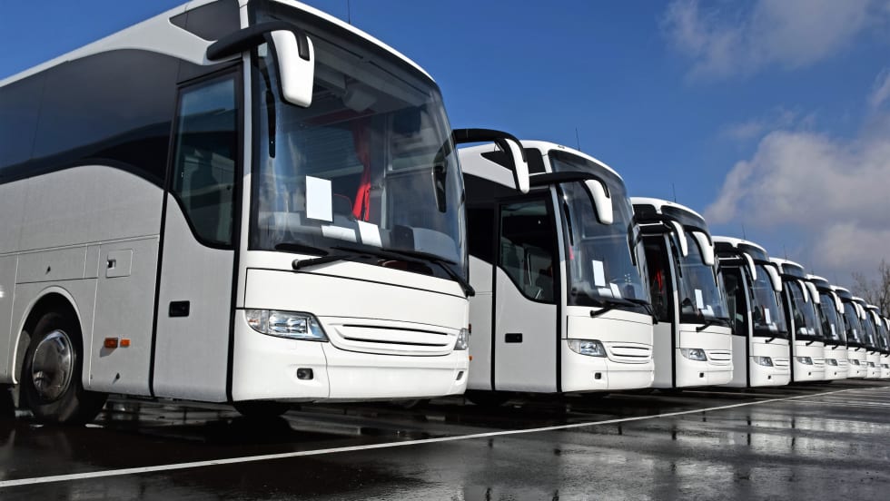
TURLOCK, CA – Turlock Irrigation District has been using GPS in its entire fleet of 300 vehicles for more than a year now. Government Fleet interviewed the district’s Operations Manager Jason Hicks regarding how this program is reducing costs and improving safety. The district is using Trimble’s GeoManager system to monitor vehicles, and has seen improvements in productivity and safety, and a reduction in fuel use, according to Hicks.

“When we first rolled GeoManager out in 2004, it was just in field trucks,” Hicks said. “Last year we rolled it out on the entire fleet, which is around 300 vehicles. This includes motor-pool vehicles, the ones that go to the airport, meetings, etc. Management uses it as a resource tool to monitor and minimize non-official or personal use. Meter reader management also uses it to improve efficiency and restructure routing to give better service.”

Hicks said Turlock’s irrigation district provides services to nearly 5,000 customers and covers 150,000 acres. Due to the size of the area, the GPS and related online fleet management platform helps the irrigation district manage driver safety, customer service, office administration, fuel consumption, and overall fleet efficiency.

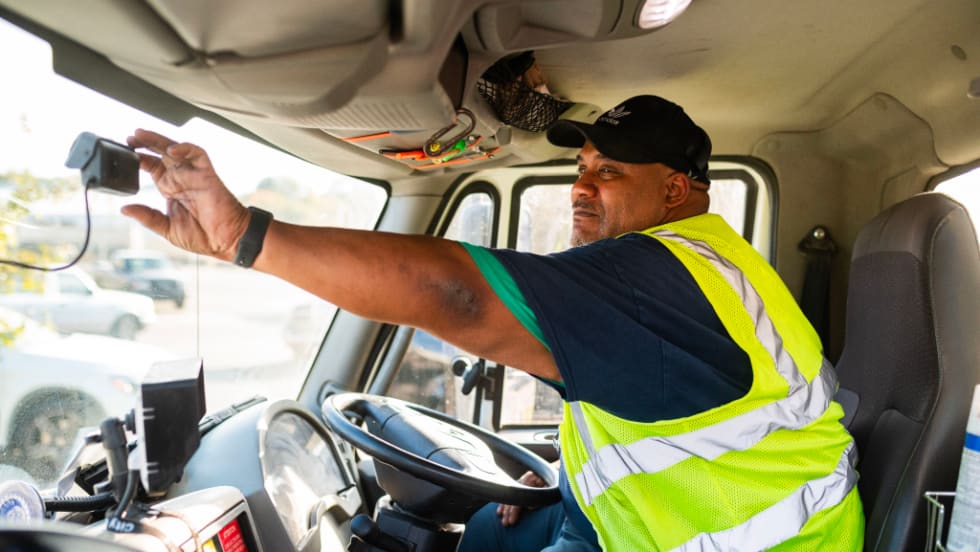
In terms of how it helps drivers, the biggest challenge drivers face on a daily basis is navigating the large, backcountry territory the district oversees, and the system helps the district’s drivers figure out where they are and where they need to be.

“Our drivers were in very unfamiliar territory in the backcountry and our concern was not being able to locate a driver,” Hicks said. “These are dirt roads in the middle of irrigation fields and substations. If the vehicles have a problem, we can give it to the mechanics and they can find the broken down truck easily. We always know we can find them.”

How does the district use this system in these areas? Hicks said the district is divided into 15 groups, and each group uses it differently.

“Since the technology has multiples uses, the different groups can perform different tasks on the platform but may have limited access to what they can see at a given time,” Hicks said. “For example, managers in charge of staff resources use the technology to ensure that field workers are in the right location at the right time. District employees responsible for reading meters use GeoManager’s mapping capability to review routes and to ensure that no routes overlap. The mapping also helps to avoid driving longer routes than necessary. Employees responsible for managing the district’s electric grid use the technology to locate the vehicles nearest to a customer service call.”

One added benefit to using GPS technology includes tracking stolen vehicles. “We’ve had three trucks taken in five years and as long as the GPS is connected we can locate the vehicle, often within hours of when it was taken,” Hicks said. “We can tell where the vehicle has stopped, so if a generator or other equipment is unloaded we can find it.”

The district’s drivers have also come to appreciate the system, although Hicks said they were skeptical at first.

“At first drivers were resistant but now they appreciate the increased efficiency and safety,” Hicks said. “We have a power control center which documents when the truck arrives on the site and when it leaves so the dispatcher knows who to send if there is an emergency.”

The system has also been used to verify, and debunk, complaints about the district’s vehicles.

“One customer called and said our vehicles were driving too fast,” Hicks said. “GPS showed that that wasn’t the case. We set up landmarks to measure our trucks. The fastest was 22 mph in a 35 mph zone. Fleet Management allows us to provide customers with valid information when there are complaints or concerns.”

By Greg Basich

More Telematics

SponsoredJanuary 19, 2026

Basic Tracking vs Next Generation Fleet Technology

Fleet software is getting more sophisticated and effective than ever, tying big data models together to transform maintenance, safety, and the value of your existing tech stack. Fleet technology upgrades are undoubtedly an investment, but updated technology can offer a much higher return. Read how upgrading your fleet technology can increase the return on your investment.

Read More →
SponsoredJanuary 19, 2026

3 New Ways Fleet Software Pays: ROI opportunities for modern fleet managers

Public fleets face constant pressure to do more with limited budgets. This eBook outlines how modern fleet software helps agencies extend asset life, reduce unplanned downtime, and improve safety by automating maintenance, using smarter video insights, and unifying fleet data. A practical look at how technology can drive measurable ROI for taxpayers.

Read More →
SponsoredDecember 5, 2025

The Road to Smarter Electric Van Transitions: A practical roadmap for integrating electric vans into your fleet

Electric vans are becoming a strategic tool, not just a sustainability move. Get a roadmap that breaks down costs, charging planning, upfit compatibility, and what fleets should evaluate before making the switch.

Read More →
Ad Loading...
Telematicsby Jeanny RoaAugust 20, 2025

Distracted Driving and Samsara AI Safety

The U.S. public sector continues to use AI technology to combat the dangers of distracted driving.

Read More →
Person using Teletrac Navman’s TN360 fleet management platform on a desktop monitor displaying a world map and vehicle data, with the Teletrac Navman logo on a light background.
Telematicsby News/Media ReleaseJuly 11, 2025

Teletrac Navman’s TN360 Now Connects with Factory-Fitted Telematics for Easier Fleet Oversight

Agencies can now tap into factory-installed vehicle data within TN360 without taking vehicles out of service for hardware installs.

Read More →
Telematicsby News/Media ReleaseJune 10, 2025

Element, Samsara Partner to Launch Comprehensive Fleet and Operations Management Offering

This joint offering streamlines procurement and onboarding for shared customers to deliver greater safety and efficiency for fleets.

Read More →
Ad Loading...
Photo: Mark W. Clark
TelematicsAugust 19, 2024

7 Ways Fleet Intelligence Can Improve Safety, Savings, and Service

Fleet intelligence technology delivers actionable insights to optimize multiple aspects of government fleet safety and service.

Read More →
Telematicsby News/Media ReleaseJuly 19, 2024

How a South Carolina Fleet is Using Telematics to Improve Safety, Traffic, and Efficiency

Charleston County, South Carolina, has partnered with Geotab to bolster fleet operations through a telematics program.

Read More →
SponsoredJune 10, 2024

The Complete Fleet Management Software Buyer’s Guide

Purchasing Fleet Management Software (FMIS) is a critical decision requiring a significant investment and can transform your fleet operations. An outdated or non-user-friendly system can lead to missed opportunities for efficiency and cost savings. Whether you’re new to FMIS or looking to upgrade, our comprehensive guide covers the basics, latest advancements, and essential features to consider. Download our guide today to make an informed decision and optimize your fleet management.

Read More →
Ad Loading...
Telematicsby Nichole OsinskiMarch 15, 2024

How a Tennessee City is Using Samsara for Visibility into Safety, Service Delivery

Through the Samsara Connected Operations Cloud, the Memphis Public Works Division has been centralizing data across its 17 departments while also using the open API to integrate this data with critical business systems.

Read More →